


Nile Rodgers and Chic. MICHELLE TRAURING
Hampton Bays, originally established as Good Ground in 1740 as an agrarian and fishing community, contains distinctive ecological characteristics—now threatened by development—that still play an important role in the community’s deeply rooted identity. The Ecological Culture Initiative (ECI), a nonprofit organization, is dedicated to using geospatial mapping and examination to evaluate cultural, historic and ecological assets, which, when taken collectively, bring to light a rationale for why Good Ground can serve as an example of regenerative neighborhood development. When ECI director Marc Fasanella recently gave a talk on “Rethinking Good Ground” at the Hampton Bays Library it triggered a flood of memories very much related to the goals of his organization.
In the late 1950s Hampton Bays was a sleepy, little fishing village filled with small cottages and Main Street businesses typical of small town America. There were restaurants, a diner, bait and tackle shops and a supermarket. Canoe Place Inn, functioning as a restaurant and banquet hall, still attracted a nice crowd when my family vacationed in Hampton Bays for a week or two every summer either in a cottage or motel. My father would often rent a boat at a local fishing station and I vividly remember catching my first fish, a nice flounder, in Shinnecock Bay. Clamming and crabbing in Tiana Bay were routine activities and we lived off pristine waters on these idyllic summer vacations. The biodiversity of Hampton Bays at that time—woodlands, marshes and coastal waters—was almost palpable and it seemed a sensate world to a small child used to city life.
Even though Hampton Bays is still a fishing Mecca, the waters have degraded due to overdevelopment, increased density and pollution. According to Dr. Fasanella, the way to restore the hamlet is by reinventing it as a destination for environmental ecotourism. Its culture and history are assets figuring prominently to form the hamlet’s greater whole.
From 1930 to 1950 there was an intellectual artists’ circle centered on the renowned Russian artist David Burliuk, which included Moses Soyer, Nicholas Cikovsky and George Constant. Squiretown Park was once an art colony. Dr. Fasanella showed photographs of Main Street today juxtaposed against historic photos of the same buildings before they were remodeled or refaced over decades. The original buildings on Main Street are largely intact but one would never know it from today’s photos. He then introduced a series of GIS maps illustrating asset allocations for Hampton Bays.
From county parklands to Southampton Town parklands to barrier beach parklands to lands purchased through the Community Preservation Fund to lands with conservation easements, the map illustrates the fact that Hampton Bays possesses an extraordinary amount of open space.
Another map showed the transportation hub already in place in the form of the Long Island Rail Road train station. It’s located in the middle of town between the barrier island and the Pine Barrens and close to all attractions.
A historic resources map of landmarked buildings and areas of significance such as Main Street and Ponquogue Avenue became layered over the others maps. The final map composite revealed the interconnectivity of elements and ecosystems that regenerative design would promote.
With regenerative design, forestland is not clear-cut to allow for intensive development and wetlands aren’t filled in. Instead, the built environment is composed to work with the existing landscape to engage in ecosystem services. By minimizing environmental impact with buildings that function as part of a bigger ecosystem and by using new technologies as well as vernacular methods, designs can bridge the gap between built and natural environments to form one that works together and treads lightly on the land.
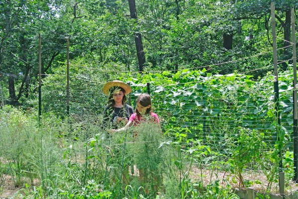
Regenerative design encourages high performance buildings using passive and active systems reducing both energy and water consumption. Grey water and renewable energy systems are also part of this equation. Natural landscapes that handle storm water such as rain gardens can also provide habitat. Using ecological corridors to create habitat for tick predators to thrive could also lessen the number of diagnosed tick-borne illnesses. Connecting corridors through circulation to community resources and natural habitats encourages a sense of community and history. Using less land to grow more in the form of organic permaculture farms, which are densely planted, can establish a resilient agro-ecology system while contributing to the local economy. Main Street in Hampton Bays is currently being analyzed by outside consultants working on a form-based zoning model, which would protect the character of the streetscape for future generations.
The degenerative design model of the past has damaged the health of our aquifer, bays, lakes, marshes and soils. Rethinking Good Ground as a model for land use to restore, replenish and engage community with the wonders and beauty of the natural environment is a truly worthy and ambitious endeavor.


 on Jul 24, 2017