


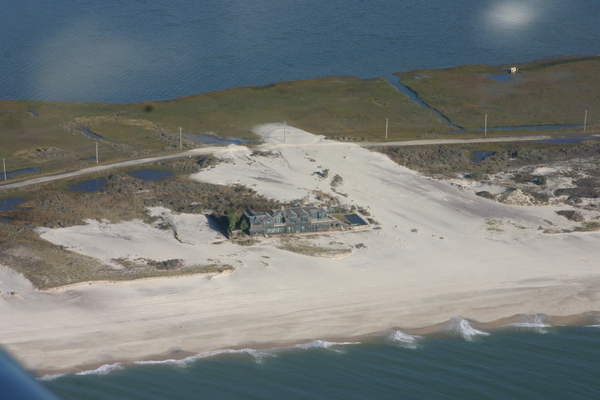
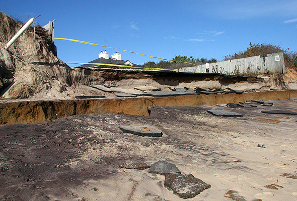
The storm waves washed over the barrier islands in many places
damaging houses and covering Dune Road with sand
but did not breach the barrier island. MICHAEL WRIGHT
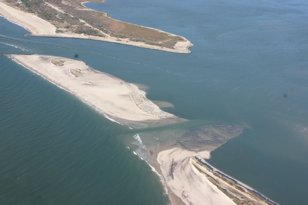
The breach in the barrier island at Cupsogue County Park on Dune Road in West Hampton Dunes. MICHAEL WRIGHT
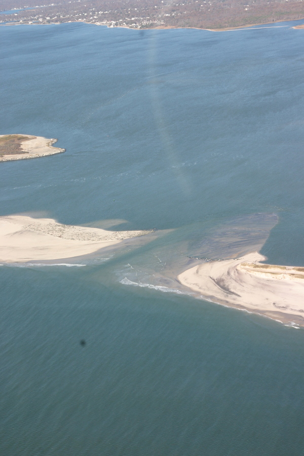
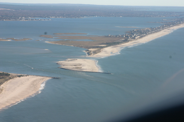
Moriches Inlet near West Hampton Dunes


