


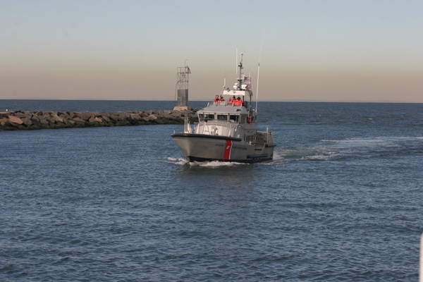

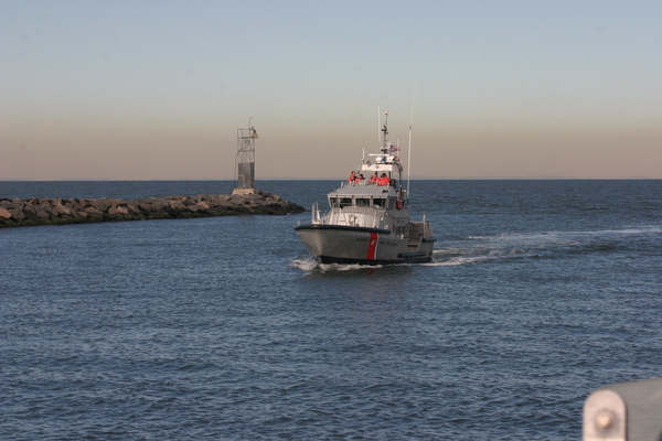

The U.S. Army Corps of Engineers last week publicized the details of two potential plans to dredge Montauk Harbor inlet.
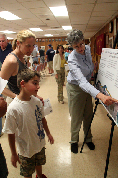
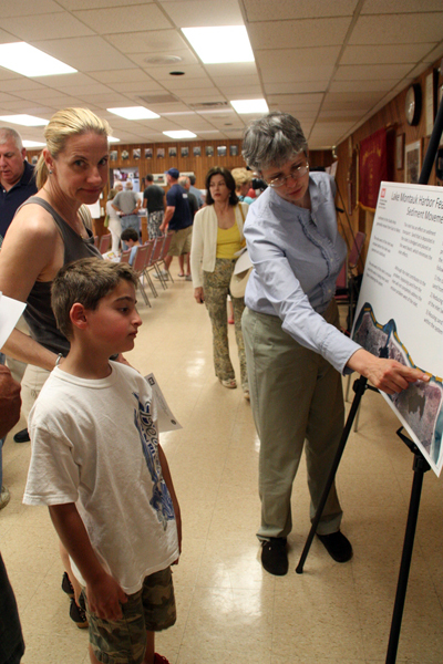
The federal organization is proposing three options to address navigation issues in the inlet, one of which is to take no action. The other two include dredging the channel to a depth of 17 feet, 5 feet deeper than its current 12-foot depth. Officials sought input on both options from East Hampton Town Board members and the public at two meetings the Army Corps held in East Hampton and Montauk last Thursday.
The difference in the two dredging plans is principally in the amount of sand that would be produced and where it would be placed. In the first option, called the “navigation only plan,” 140,000 cubic yards of sand would be produced in an initial dredging. It would go toward replenishing 2,500 feet of beach west of the jetties in an area that has been badly battered by storms in recent years.
A group of homeowners living in that same area have filed suit against the Army Corps of Engineers, East Hampton Town, Suffolk County and New York State. In the suit, 11 residents of Soundview Drive and Captain Kidd’s Path charge that the jetties, created in the 1920s, have led to severe erosion and destruction of their property, to the tune of $25 million, according to their lawyer, Jonathan Sinnreich, of the Central Islip firm Sinnreich Kosakoff & Messina LLP. They are asking for the government agencies to make the beach whole again and maintain it against future erosion. The lawsuit, filed on June 14 in the U.S. District Court in Manhattan, is not new—it mirrors one that was filed in January 2011, but it now includes the Army Corps of Engineers as a defendant.
Also included in the first option is a plan to dredge the inlet on a five-year cycle to maintain navigation. That maintenance dredging is expected to produce 50,000 cubic yards of sand, which would be placed within 1,200 feet west of the jetties along the beach, according to slides in a presentation by the Army Corps.
The second option, called the “navigation and coastal storm risk management plan,” calls for 230,000 cubic yards of sand to be placed on 4,000 feet of beach west of the jetties. It also would install three groins, approximately 300 feet in length, along that stretch to fend off further erosion. The groins would initially be constructed of geotubes and replaced a decade later with a hard structure, according to the details in the Army Corps’s presentation. It also includes dredging on an eight-year cycle to produce 80,000 cubic yards to maintain navigable depth.
The second option includes key “real estate requirements,” the presentation notes. The Army Corps mandates that any location on which it places sand must be accessible by the public, and the town must own the location of public access points and groins. That entails providing public access points to the beach every half-mile, providing adequate parking for expected usage and keeping it open to all potential visitors, regardless of origin. Currently, access points exist on the east and west side of the western jetty, but more access points would be required in the middle of the area—on land fronting private homes.
Town Board members last week said they were aware of the legal complexities of moving forward with either option. But they seemed to agree that to take no action isn’t an option, given safety issues of entering and exiting the harbor through the inlet. They pointed out that an emergency dredging took place just last year.
“We have to dredge that harbor,” said Supervisor Bill Wilkinson, a Montauk resident. “It’s a no-brainer.”
Steve Couch, the chief of the coastal section of the planning division of the Army Corps of Engineers, recounted some of the history of Montauk Harbor. Prior to the 1920s, the body of water was freshwater, and known then as Lake Montauk. He pointed out that the jetties were built by the Army Corps long before significant development along the neighboring shoreline, so there was no need to put in place measures to protect the shoreline from erosion. He said that since the jetties were created it has been “surprising to see the evolution not only in the shoreline [but] the development patterns here.” He confirmed a figure Mr. Wilkinson quoted earlier in the Town Board meeting, that since about 1942, approximately 500,000 cubic yards of sand have been dredged out of the channel.
If the project is approved and moves forward, it would mark “the deepest potential dredging we’ve done to date,” said Mr. Wilkinson.
Each option would require a local cost share, meaning the town would have to contribute money to the project. Under the first option, the “navigation only plan,” the total life cycle costs of the project would be approximately $26 million, with the federal government covering most of that share, and the town providing just $801,900. Under alternative two, which includes the groins and the coastal erosion mitigation, the total cost would come out to about $41.3 million, with the federal government paying for about $36 million, the state providing about $3.7 million and the town paying about $1.6 million.
Officials noted that this project isn’t anywhere near shovel ready. The dredging is part of the “Lake Montauk Harbor Feasibility Study” which was initiated in 2003. Federal officials are asking the town to decide on an option and vote on it by Town Board resolution by August. If the town follows that timetable, the Army Corps will submit a chief’s report to Congress by April 2014. The funding will then need to be authorized by Congress.


 Rohma Abbas on Jun 26, 2012