


xx
xx
xx
xx
xx
xx
xx
xx
xx
xx
xx
xx
xx
xx
xx
xx
xx
xx
Hither Woods Trail
Hither Woods Trail
Hither Woods Trail
Whether or not you live on the East End, if you’ve been in a car on the way home from Montauk, the temptation to pull into the West Overlook parking lot of Hither Hills State Park is strong.
Maybe you gave in and parked because the sun was setting over Napeague Harbor. Mesmerized by the view over the treetops, you likely gave little thought to what’s between you and the sparkling water.
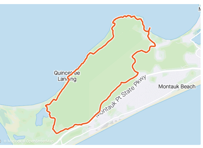
Under the treetops, surrounding that parking lot, is more than 2,000 acres — 2,480, to be exact — of woodlands, dissected by many miles of trails for walking and biking. And for the truly adventurous who traverse the trail to its northern edge, an unobstructed view from high up on the shore clear across the Long Island Sound.
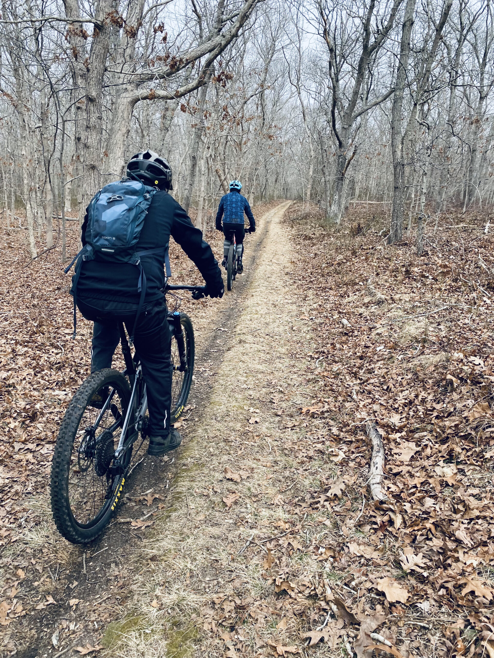
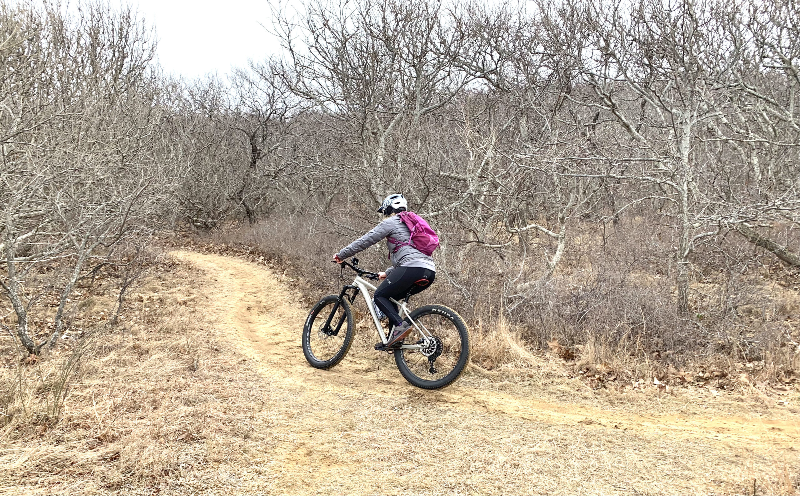
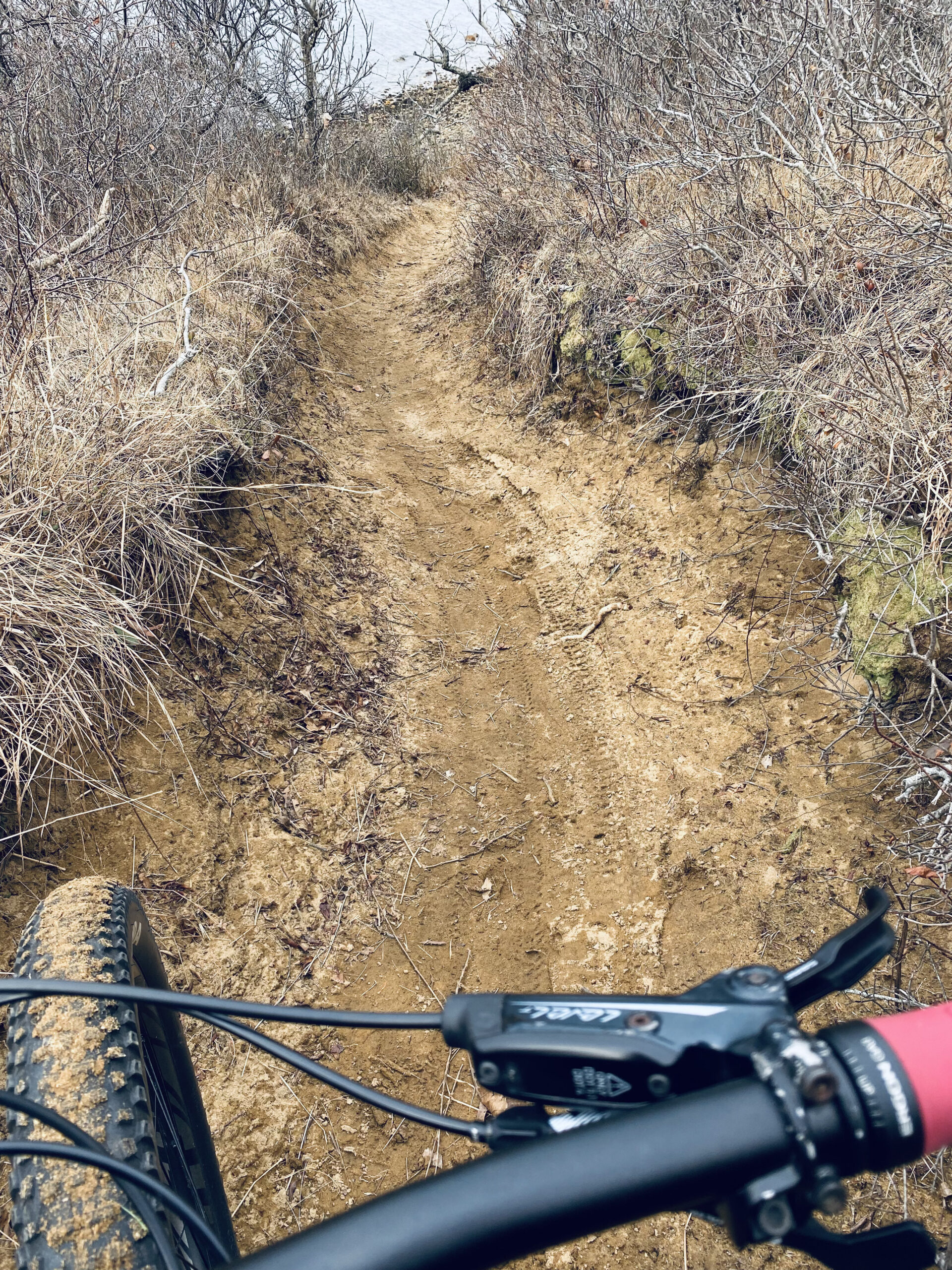
Hither Woods trails are shared use and they see a fair share of hikers, walkers and cyclists, but to see all points of this incredible space, which is mostly under shared town-county-state stewardship, hopping on your mountain bike is the way to go.
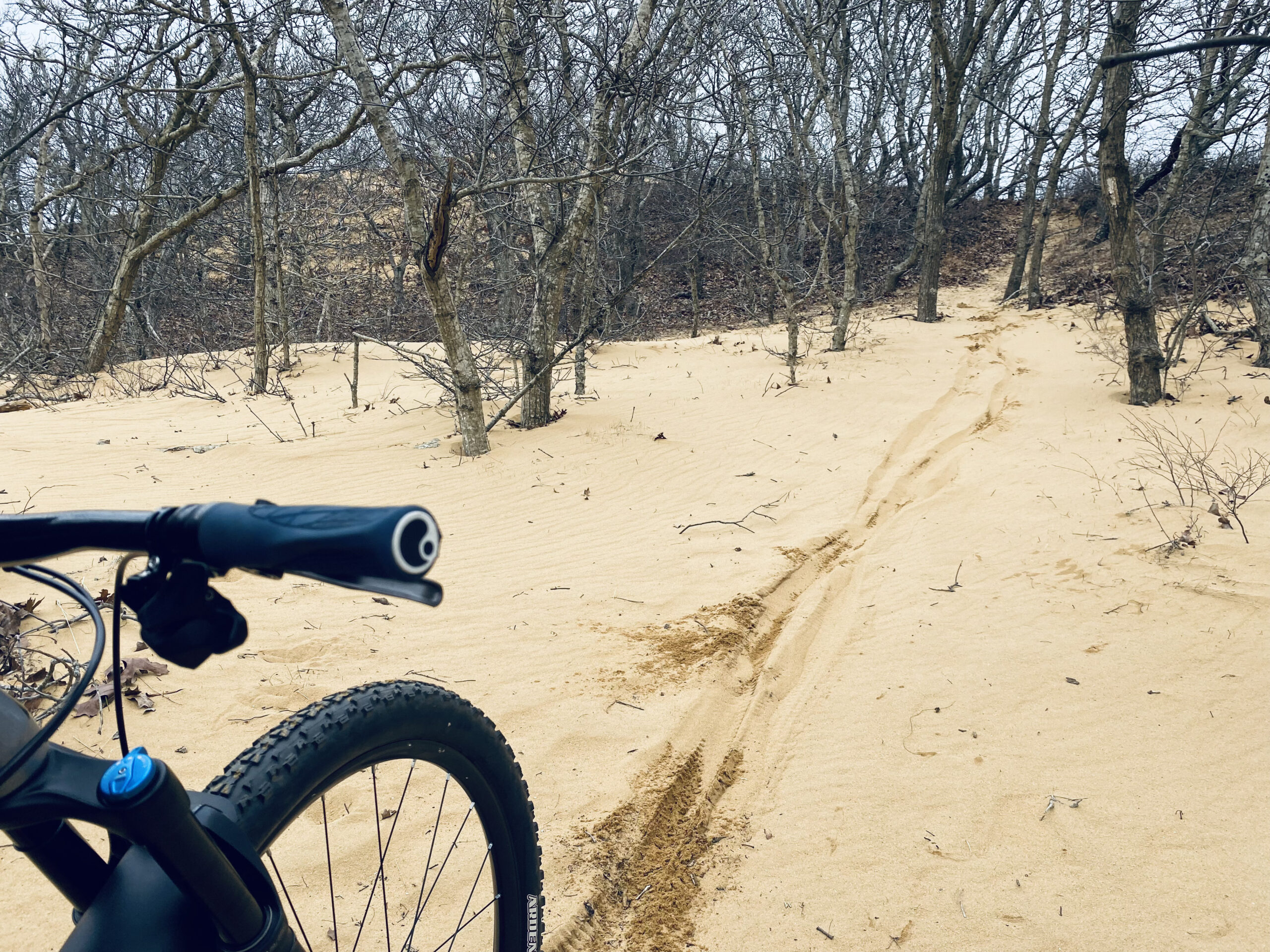
It’s a mostly packed trail, but sections are very sandy, so some riders opt to use a “fat” bike, so named because the tires are very wide. If you don’t have a fat bike, you’ll be fine, because most of the sandy areas are short, and if you can’t power-pedal your way through, just walk and push your bike.
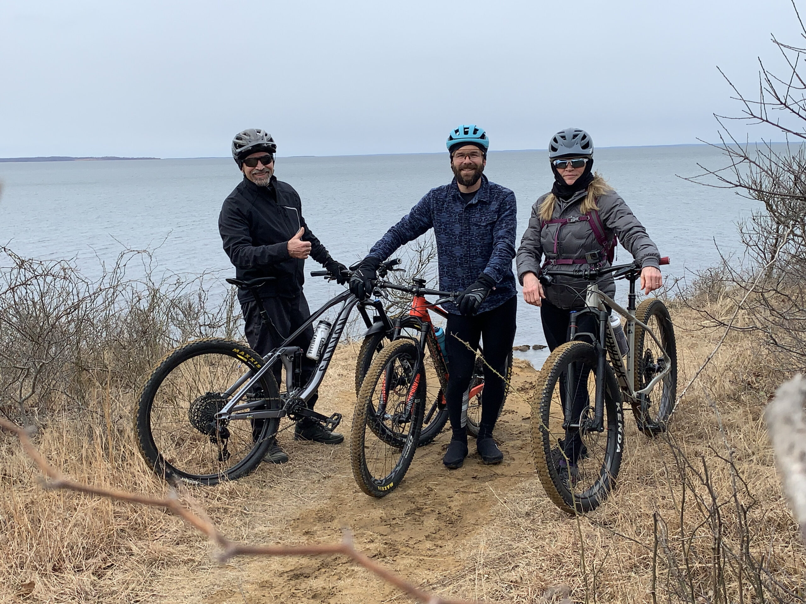
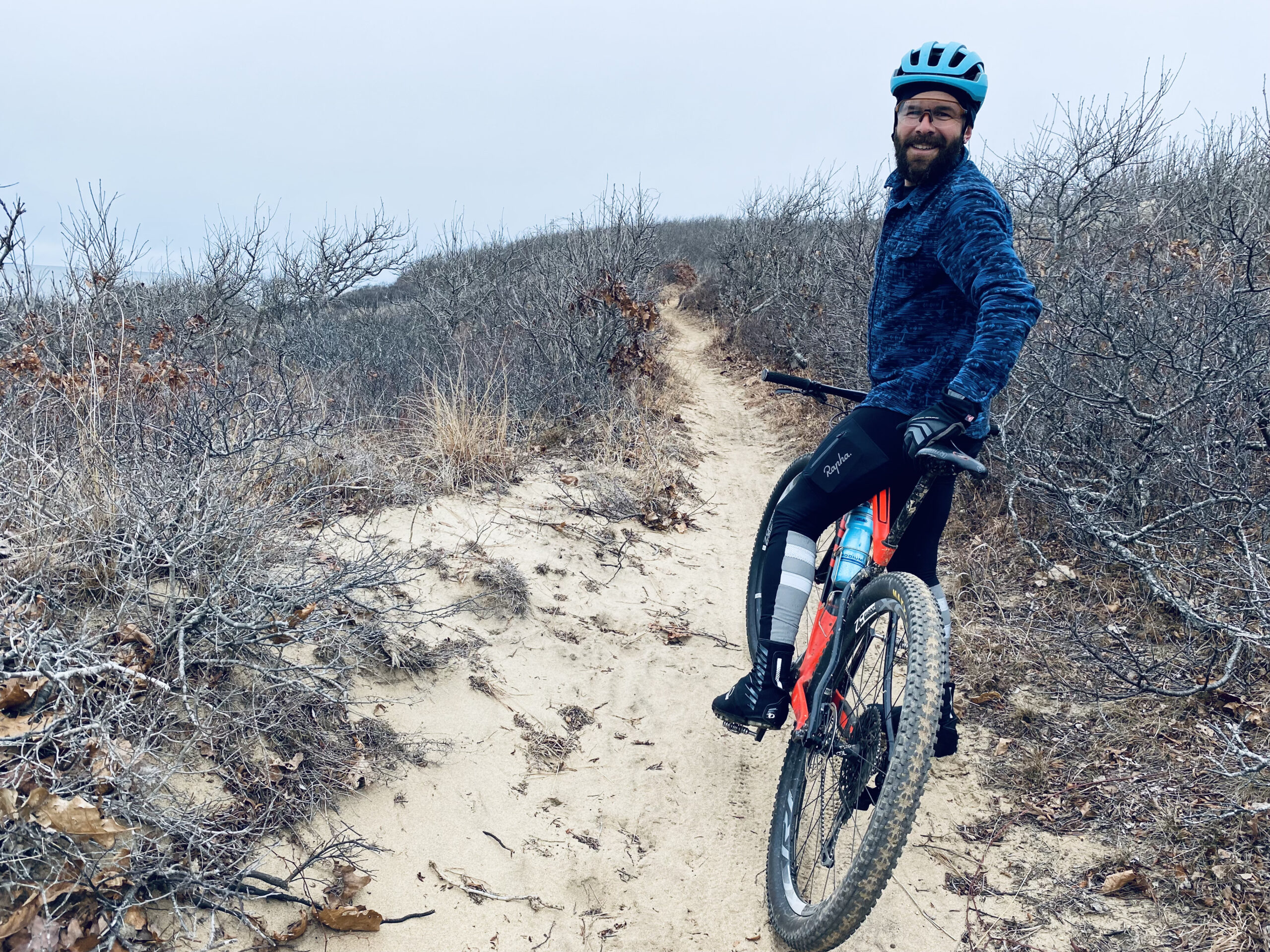
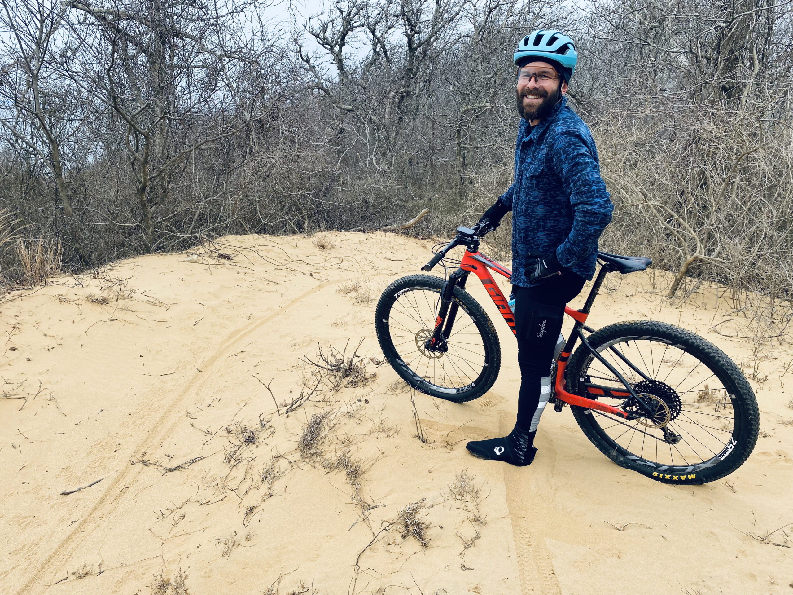
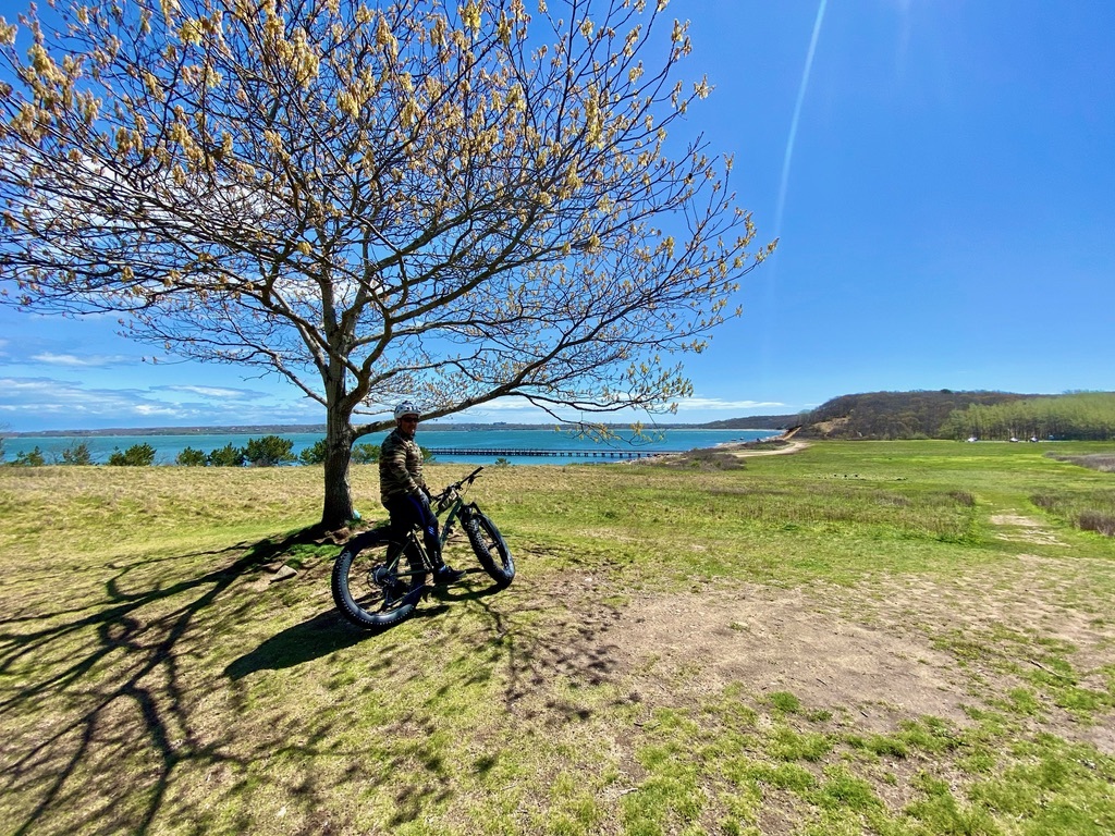
On a recent late winter day hinting at spring, Andy Drake, a trail steward for the Town of East Hampton and an avid cyclist, both road and trail, led a ride through this forest near the tip of the South Fork.
We started at the West Overlook, although there are starting points with parking in other areas along the trail.
Drop in on the western edge of the parking lot, through Elisha’s Valley; cross over the railroad tracks and then make the first right. If you miss this turn, you’ll end up on Napeague Harbor Road near the Walking Dunes — not a bad place to end up, but you’ll have to turn around to get back on the loop. (The first time I rode this trail, on New Year’s Day 2021, with my brother, we missed the turn and had to turn around.)
Technically, you could head around the beach. Noted one reviewer on a trail app: “Ride the beach along the harbor’s reddish sands, around the bird sanctuary at Hicks Island, through the ruins of an old menhaden fish meal factory, then past Goff Point to catch the single track at Fresh Pond Landing.” True, but Drake pointed out that it’s not part of any official trail, and there are sensitive environmental areas to consider. Not to mention, you’d most definitely need a fat bike.
Anyone can find their way through Hither Woods, but if you’re looking to hit certain trails and learn some things along the way, having an Andy Drake as your guide is helpful — but a map will do the trick, too. Any number of phone apps can you help out with a route.
Continuing on our route, once we crossed the railroad tracks, we were on the Paumanok Path. A reminder here that this trail, and all trails in Southampton and East Hampton towns, are shared use and are two-way (unlike a dedicated mountain biking trail that is single track, one way); pay attention while riding and be conscious of your surroundings. If you see a walker or another rider before they see you, make yourself known.
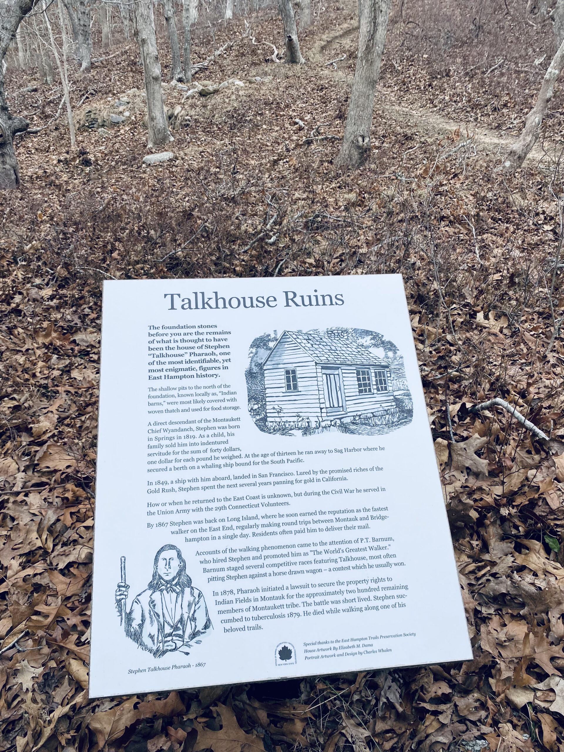
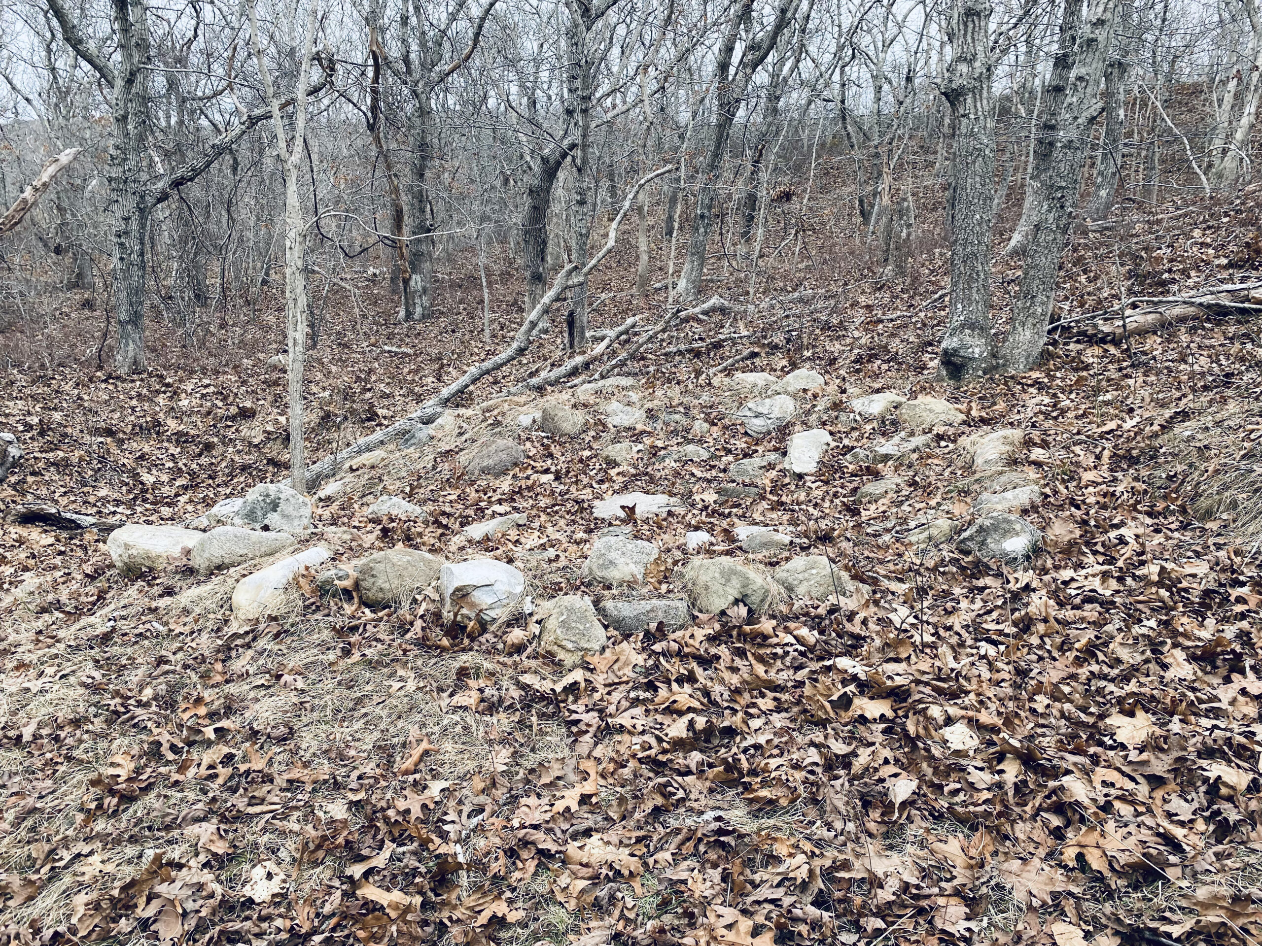
The part of the trail also known as Stephen Talkhouse Path passes Fresh Pond and the Stephen Pharaoh ruins — according to the sign, an “Indian barn” most likely used for food storage — and begins to open up to beautiful views. At the end of that path, we took a left onto Old North Road. Had we gone right, we could begin the very long climb up Serpent’s Back, which would end at the parking lot.
Some riders opt to start on Serpent’s Back, bombing the downhill for a direct route to the Coastal Trail. Having done this climb once before, on my next ride I’m going with this option to take advantage of a fun downhill.
Dante Milazzo, who comes from up-island to camp at Hither Hills, intended to ride every trail in Hither Woods on a trip last May. The trail “was directly from the campground to the trailhead at West Overlook parking lot. We proceeded along the Serpent’s Back,” he said. Serpent’s Back is the only black diamond trail, an indicator of the necessary skill level to safely ride it.
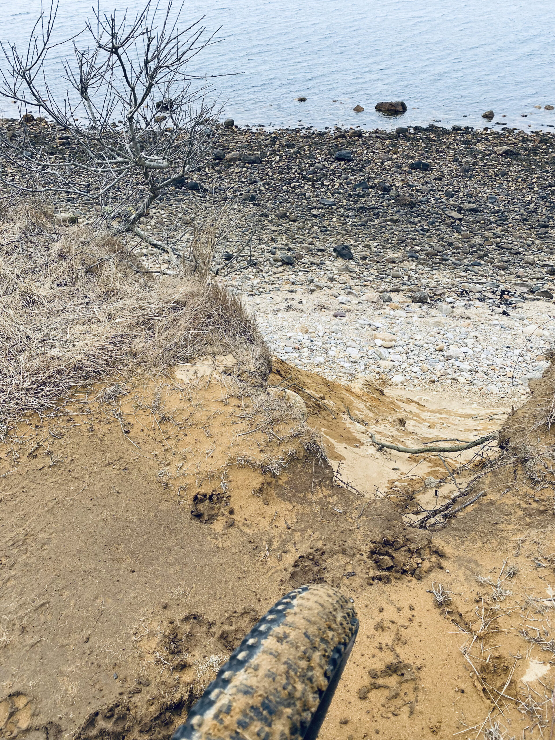
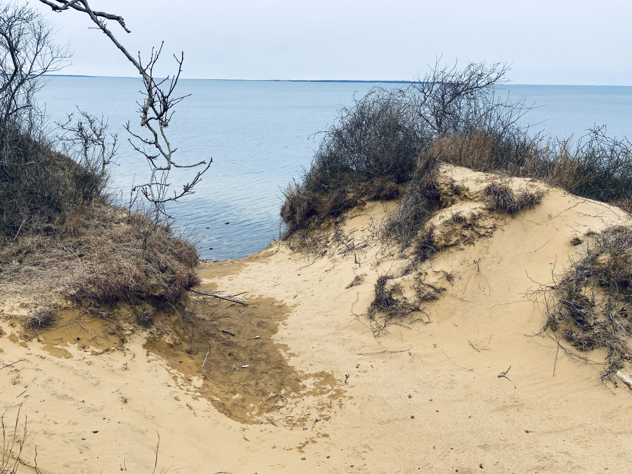
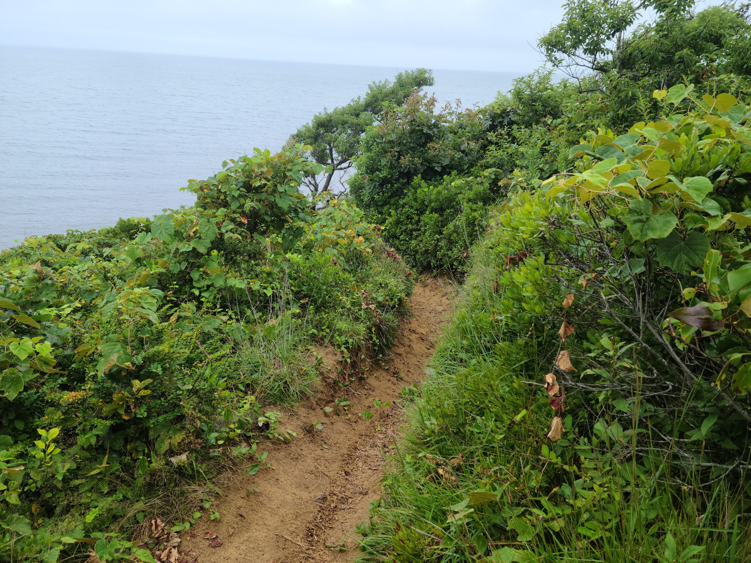
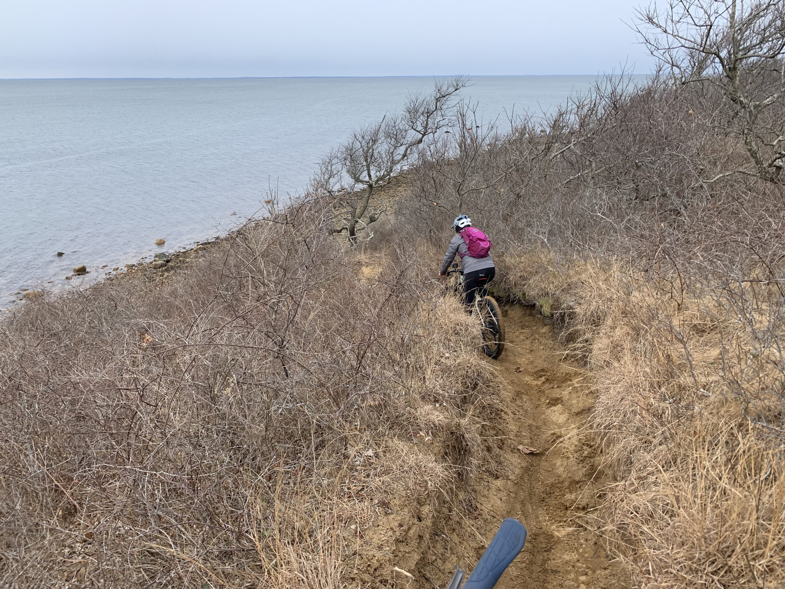
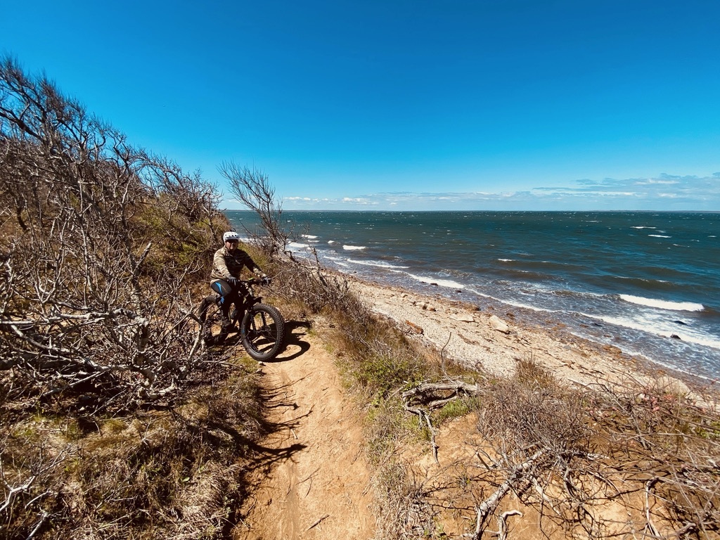
“As soon as I made the left turn from Old North Road Trail and entered the Coastal Trail, I could smell the salt air, and then, out of nowhere, the sky opened up and the trail banked right, and then there was a spectacular view of Fort Pond Bay. The moment was awe inspiring. It was like the pot of gold at the end of the rainbow,” said Milazzo.
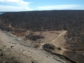
The incredible view includes not only Fort Pond Bay but Gardiners Bay and the Long Island Sound.
Continuing on the Coastal Trail, the view reappears several times and traverses what is known as Tar Works, where, historically, fisherman laid out their nets to apply tar, explained Drake, before opening up to Rod’s Valley (see sidebar).
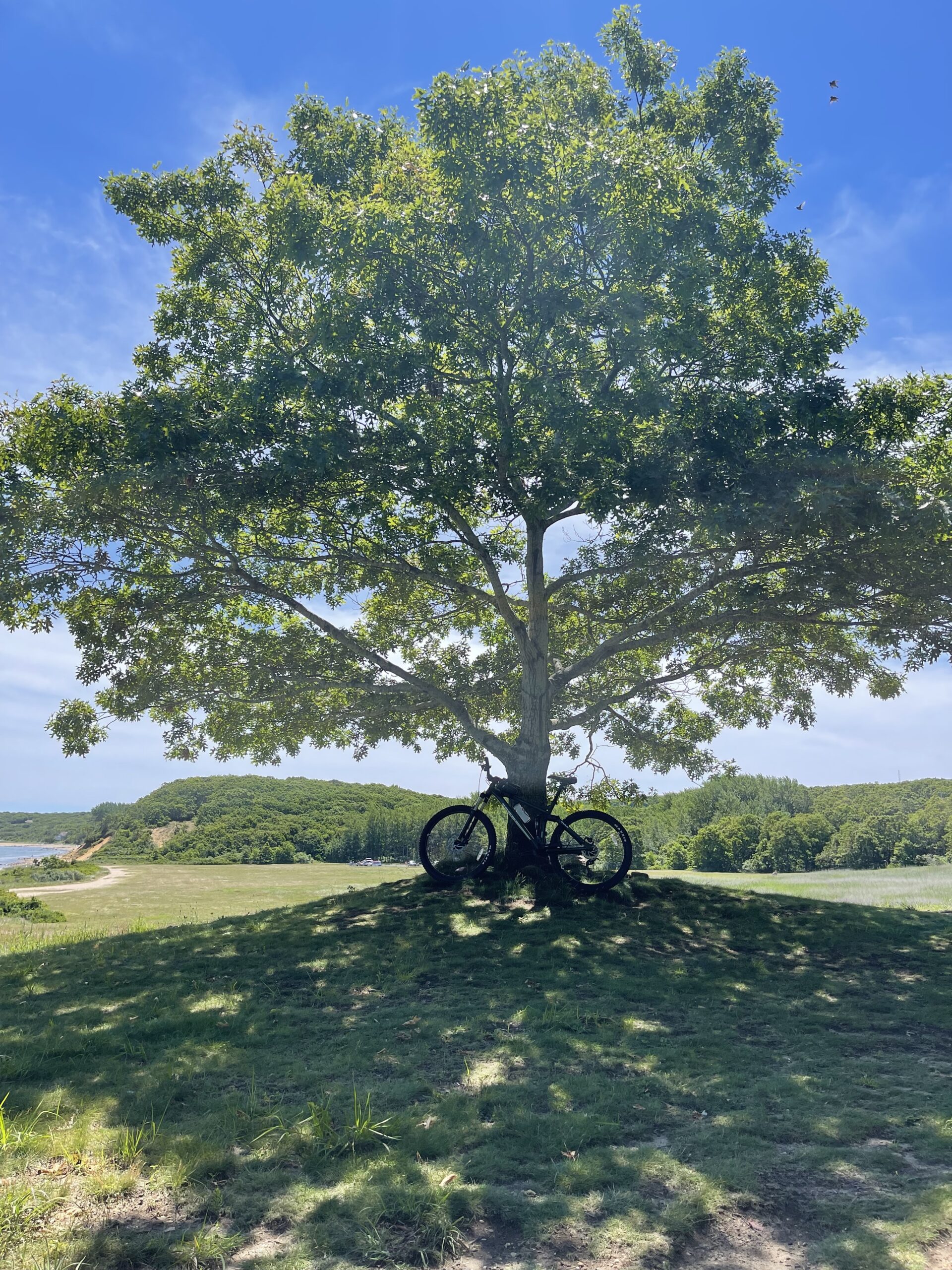
“When I came to the end of the Coastal Trail … there was a magnificent tree offering shade and a place to rest and rehydrate,” said Milazzo. It was a ride “to never forget.”
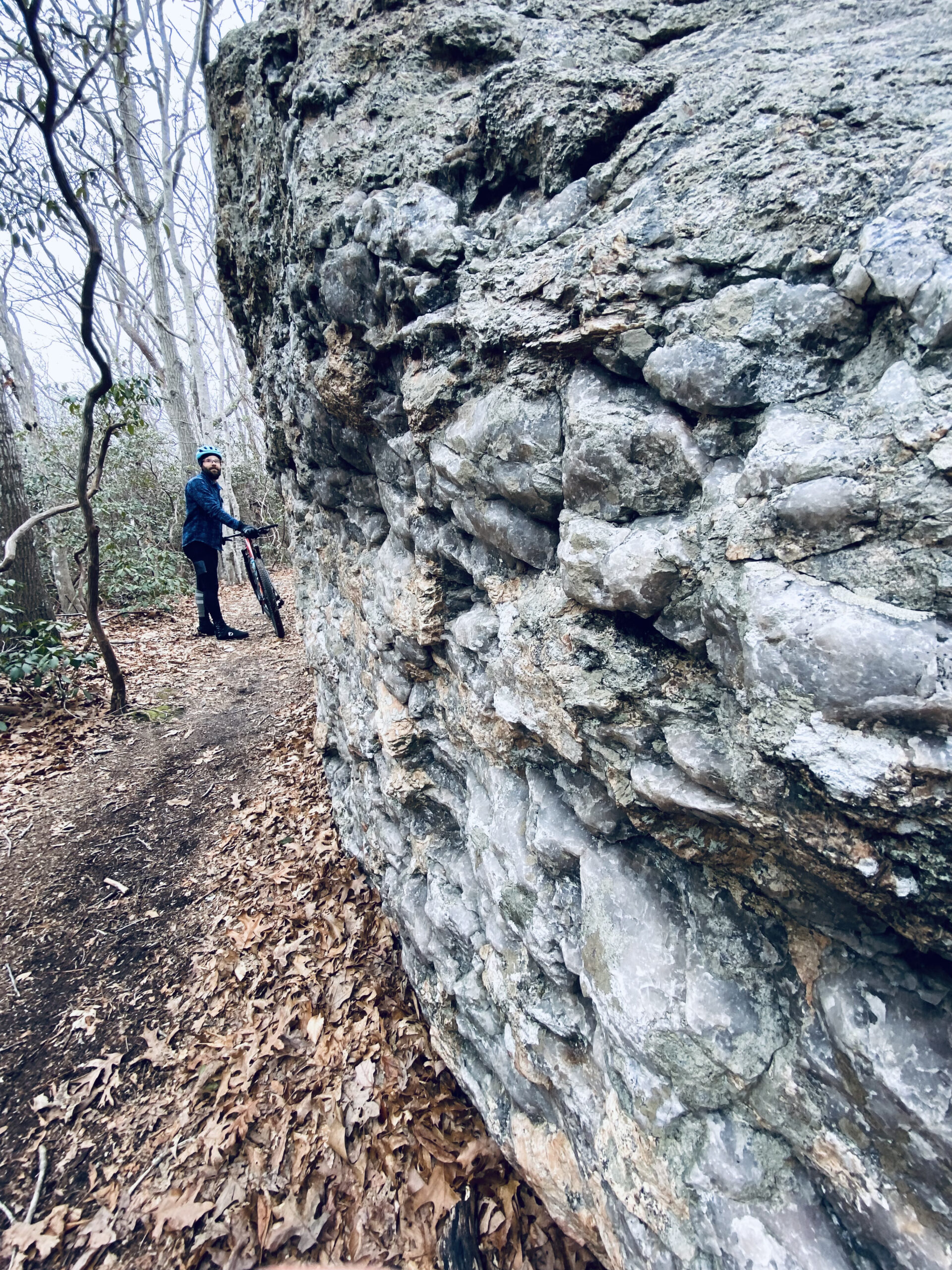
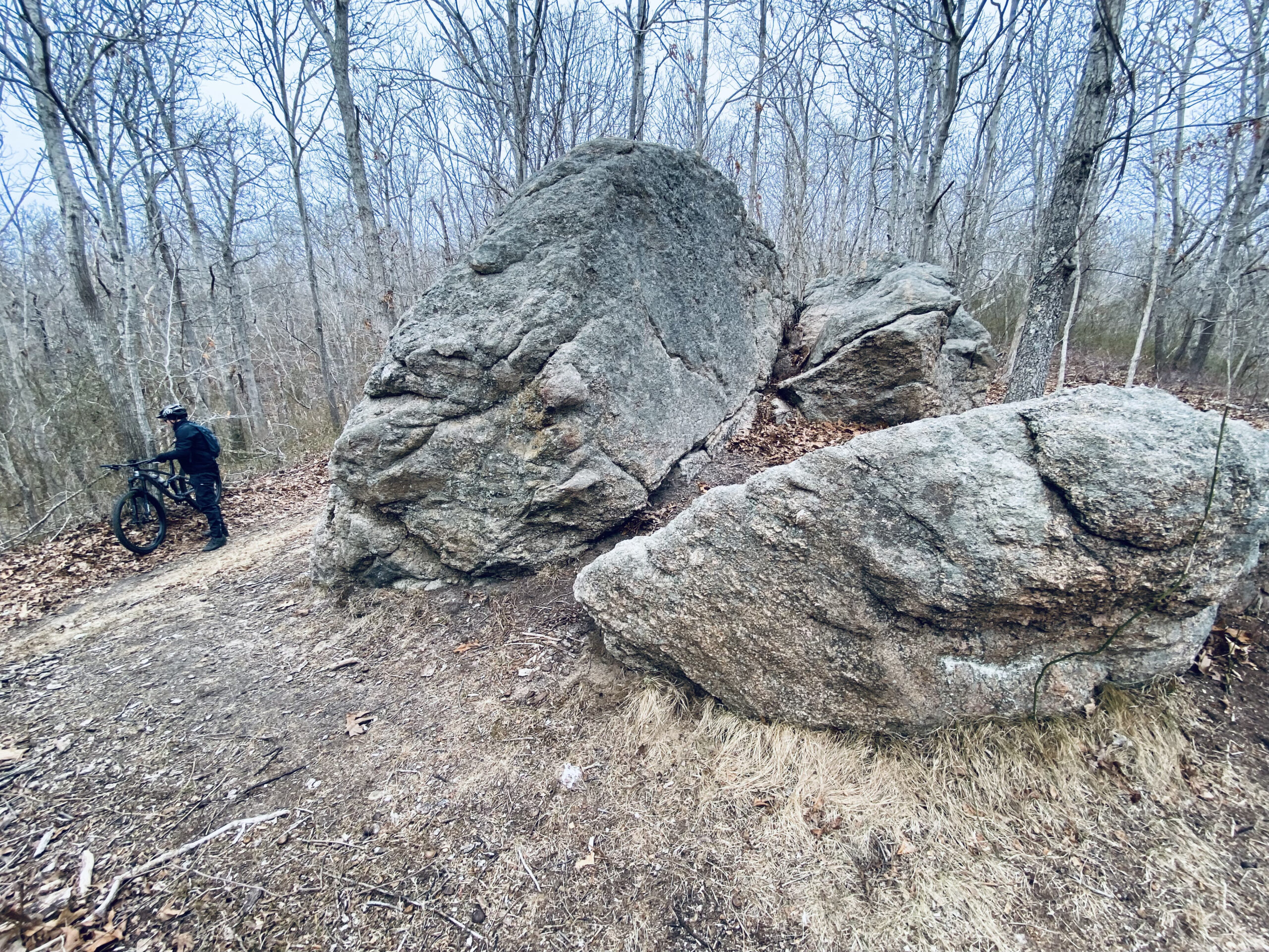
On my ride with Drake, we re-entered the trail at a the eastern corner of the park, crossing over the railroad tracks again, and made the steady but low-grade climb on Lost Boulder Trail, named for a giant glacial erratic. It’s pretty much impossible not to stop for a photo here.
We took a left off Lost Boulder Trail to Midland and then another left onto Split Rock Trail (with another stop to check out the split rock), and ended with a short pedal on Parkway Trail to the parking lot.
This route is just under 10 miles, but you can easily add more or take shortcuts, such as Milazzo’s straight shot to the Coastal Trail.
One way to add more would be to continue on the Paumanok Path out to Montauk Point. You’d get about another 14 miles taking this winding route that will have you crossing Montauk Highway.
It’s worth noting that the trails are open year round, but this trail is ideally suited for cooler weather, when you’ll avoid ticks, overgrown trail sections and, on the drive out, traffic.
SUBHEAD: Eddie Ecker Park, or Rod’s Valley
Ask just about anyone the name of the park at the western end of Navy Road and they will tell you it’s Eddie Ecker Park. Not so, said Andy Drake, one of two park stewards in East Hampton Town. It’s actually Rod’s Valley, a town-owned park.
The confusion likely arises, said Drake, from the fact that the pier in Rod’s Valley is named for Eddie Ecker.
Edward Ecker Jr. County Park is the property just to the east of Rod’s Valley, spanning some 19 acres, to which there is no public access (it’s gated off). There are old, abandoned concrete buildings, many of them covered with graffiti and accessed by a paved road, said Drake.
So who the heck is Rod?
A kiosk in the park gives the explanation. It reads:
By the 19th century, roughly half of present-day Hither Woods was still forested. The remainder of what we call Hither Woods had been cleared by wood-cutting and for pastureland.
Enough woods still remained in the 1870s for the Montauk Proprietors, who then owned all of Montauk, to contract for the cutting and sale of wood in Hither Woods.
A man named Henry E. Remington got this timbering concession around 1871. He employed an African American man named Rod as his principal axe man.
Little is known of Rod — including his last name — but he was married to a woman named Riah, who may have been of Native American descent.
Rod and Riah lived in a house on the western shore of Fort Pond Bay, at the foot of this valley.
Rod still lived here around the time all of Montauk was sold at auction to Arthur Benson in 1879. Thus, the valley was named for him and became Rod’s Valley.
Rod’s Valley is owned by the Town of East Hampton.
SIDEBAR 2: Clearing The Way
How in the world do trails stay clear on thousands of acres?
First of all, riding the trails helps keep them, well, ride-able. But sometimes Mother Nature outpaces even regularly ridden trails.
The Town of East Hampton is responsible for maintaining about 400 acres in the northeast corner of Hither Woods, including most of the Coastal Trail. Volunteers from trails groups and state parks employees take care of the rest, which can include removing debris, trimming back overgrowth and cutting up downed trees.
Drake regularly inspects the town-owned portion and uses GPS to pin the locations of fallen trees, and returns later with a chainsaw to cut them up so they’re not blocking a trail.
Since 2020, he has removed more than 50 fallen trees on town land.


 Kim Covell on May 25, 2022