


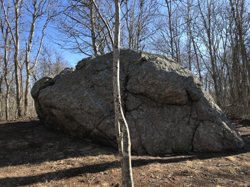

Split rock VICTORIA BUSTAMANTE
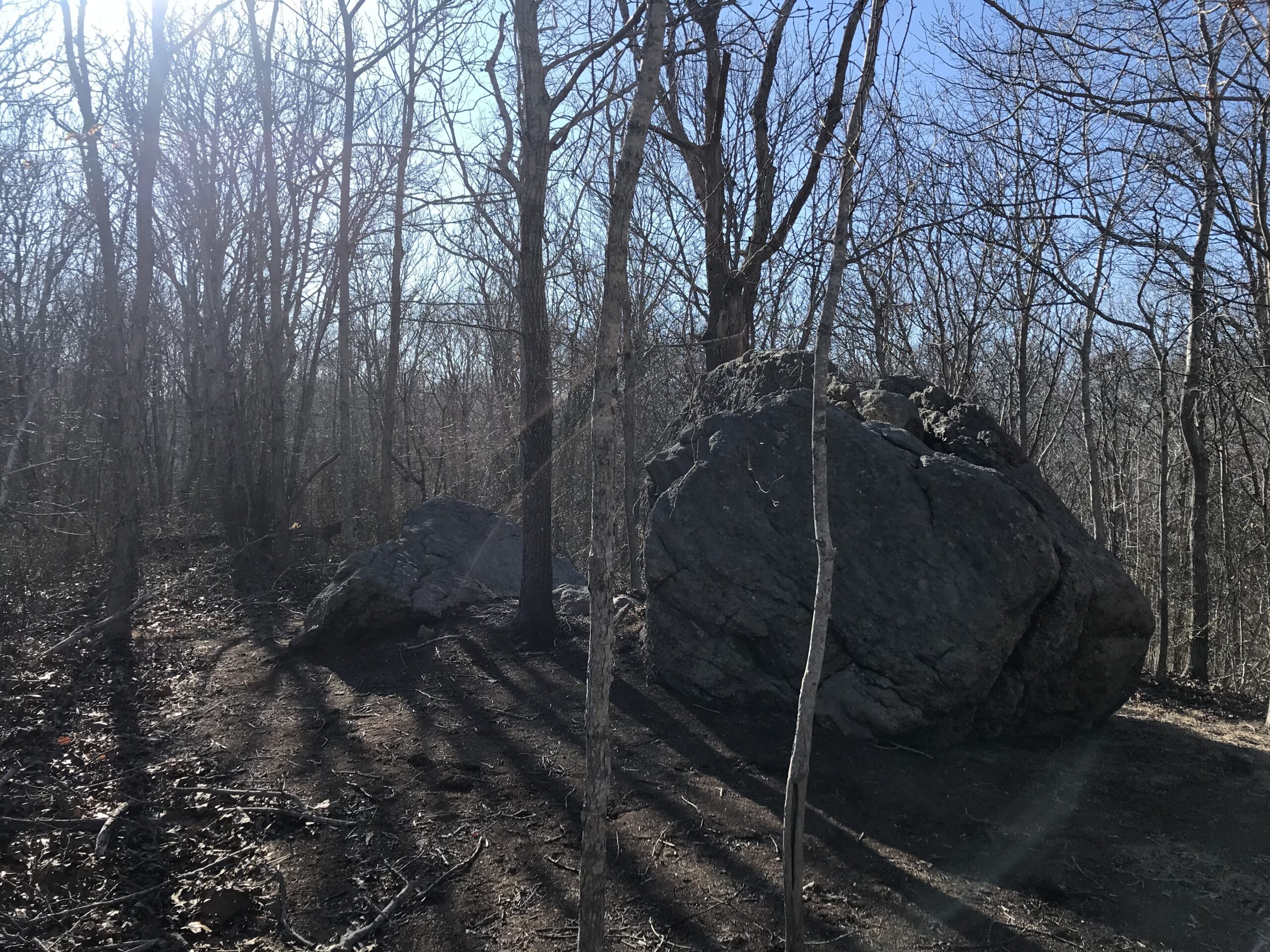
Split rock VICTORIA BUSTAMANTE

Hither Hills in Montauk was appropriately named by early English settlers. The “Hither,” from “come hither,” was an invitation to come see it. And, yes, when it was so named by the first white settlers in 1640 or thereafter, it was all woods and the territory of the Montaukett Nation.
The “Proprietors,” a group of settlers representing whites’ interests in the new colony, bought the South Fork land from the Native Americans for a paltry bunch of items (tomahawks, etc.), and, in 1660, Montauk, including Hither Woods, was the last piece to be purchased — for 100 (British) pounds and certain rights to hunt and fish.
When the colony grew to the point where they began raising livestock, they cleared a large area in Hither Woods, “The Ram Level,” where their stock, after a drive of several miles along the Napeague isthmus from the main colony to Hither Hills, grazed each summer. Such livestock drives to and fro continued right up into the 1800s.
An 1814 U.S. Coast Map in my possession shows Hither Hills more than 75 percent cleared. When the almost 150-year practice came to a halt, the Woods grew back until it resembled its forested state to date. A very small patch of The Ram Level persists until this day. In fact, that is where a few very rare-to-New York State plant species, e.g., bushy frostweed, still exists today.
The surface of the land north of the highway, except perhaps for the mound of garbage where the town’s Montauk Transfer Station is situated, has not changed since it was created during the last glaciation, which lasted until 11,000 years ago.
Michelle Bernard and three other geologists from Stony Brook University in 1986 published a scientific paper on the series of southwest to northeast “thrust” ridges that make Hither Hills stand out from other Long Island glacial highlands created during that epoch, which lasted more than 100,000 years.
M.L. Fuller, in his “The Geology of Long Island, New York,” had noticed the same pattern of ridges in Hither Hills and wondered what caused them, as other Northeast glaciated areas, including those on Long Island, didn’t have them. The Stony Brook geologists dug down to see why and discovered that as the glacier — which, by the way, extended well out to sea in Montauk — advanced, it did so in spurts, creating these ridges in the upper glacial aquifer that we see today.
The woods itself and the myriad trails, mostly paralleling the thrust lines, first began to be put away as preserved parkland in 1926, when Robert Moses and the State of New York created Hither Hills State Park. The part of the park north of the highway, including the Walking Dunes and cranberry bog, has pretty much remained intact, except that the Walking Dunes have been walking southeastward at more than a few feet a year. As the middle one, the largest, moves, a new one, a mere bump, takes shape. Thus, there are as many as three of them, all lined up. The last did in some pitch pines in the 1940s and 1950s, the branchless trunks of which have long disappeared.
Some very rare U.S. plants including the pale fringed orchid, also found on Napeague, occur where the pitch pines have survived. Fortunately, Moses and others were able to save the dunes before they were trodden on by selfish interests or corporate interests. The state park also included a good part of Hither Woods itself, all the way east to a major trail that runs to the northeast from the highway.
While Curtiss-Wright, the aircraft company, was trying to develop its land near the landfill, several local heroes strode upon the scene.
If you just need to flex your legs and breathe the freshest air east of New York City, you will find that the trail system in the preserve is unbeatable. One trail takes you past a grove of beech trees, another one takes you into a very special lowland of southern red oak, a species unique to Montauk. Fresh Pond, surrounded by a narrow but 5-foot-high stand of Juncus militaris marsh of the Suffolk County Lee Koppelman Preserve, sits above the only clean water in Montauk.
For more than 20 years, the Suffolk County Water Authority has been pumping water from wells west of Montauk to Montauk, as the water beneath downtown Montauk water wells was turning bad. On the other hand, Hither Woods Preserve sits atop good water, which is confined to the upper glacial aquifer. Below the bottom of this aquifer, the water turns salty.
For now, the Koppelman Preserve protects the groundwater stored there. Obviously, creating a sewage treatment plant atop this pristine land, as envisioned by East Hampton’s political leaders and some Montauk groups, is a bad idea. Should there be a leak, even a small one, there goes what is now absolutely pure water.
One of the first advocates for Hither Hills was Russell Hoeflich, who had been a student at Southampton College and became The Nature Conservancy’s first full-time leader on the South Fork. He testified at a town meeting that the land should be saved, notwithstanding the fact that he was supposed to take a more passive role, as TNC didn’t want to offend its big donors.
Then came Richard Whalen, the local attorney, and Tom Ruhle, now East Hampton’s director of housing. They were followed by the late Nancy Kelley, who was head of the Group for the South Fork, now the Group for the East End.
Fred Thiele also was a friend of Hither Hills, first as an aide to State Legislator John Behan.
More Posts from Larry Penny


